What is a Geographic Information System?
Have you ever heard someone mention the term GIS…as in Gee-eye-ess? Then that voice in your head says, “I kind of, think I know what it is, but I’m not sure.” Well, this video is for you. GIS stands for Geographic Information System. Your old high school geography textbook is not GIS. Maybe it has geographic information, but it’s not a system. Google Maps is almost like GIS because you can ask for specific things on the map, like hotels and restaurants. But GIS is more than just a map. GIS is when you collect and maintain information about the things in the world around you and place them in geographic relation to each other. Then you can query those things for the information you need to know about them and their relationships to each other. Pretty cool, huh?
Who uses GIS?

So, you might ask yourself, ”Who uses GIS?” Well, insurance companies, agriculture, emergency managers, logistics and supply chain managers, urban planners, and local governments, to name a few, all use GIS. And Tallahassee-Leon County does too. Scott Weisman is the GIS Program Coordinator for Tallahassee-Leon County GIS. He explains GIS like this: “Everything is represented as a point, line, or polygon. So those are the parts we see. But when you click on it, there’s a table of information that comes up behind it. So, attributes, information about that line, who maintains it…the city, the county, private? How many lanes are there? What is the traffic count? The pavement type…for pavement management systems. There’s a wealth of information associated with things we see on the map.” As you might expect, a lot of this information is stored in different agencies like the tax collector for property taxes, the city-county planning department for zoning, or city hall for utilities. But with the Tallahassee-Leon County GIS website, you can pull that public data together through one portal, beginning with a map. Check out the inter-governmental agency’s site at: tlcgis.org. You may be surprised by what you find. I thought it was very cool.
Here comes the curve ball…

Now here comes the curve ball. Do you know what some GIS guys call old information? HISTORY! Crazy, right? I’ll bet you didn’t see that coming. Marcus Curtis is a GIS Specialist for Tallahassee-Leon County GIS. His job entails a lot of mapping for the city and county, and he’s done a lot of research on how local parcels of land were transferred through families over time. He’s studied a lot of old land surveys, and property deeds, and municipal boundaries, and easements, etc. And he’s also been using his GIS skills to tell some of the stories about Tallahassee’s history. “I think it was roughly about eight years ago we started. And we told stories, we connected dots, we provided historical maps and resources, and we also just showed how the community came to be. How it developed over a period of time.” You can find the local history information at tlcgis.org/history. You’ll find information grouped in historically themed galleries. The other thing to keep in mind is that a lot of the information presented is hyperlink-heavy, so keep an eye peeled for text that is colored differently or underlined. The linked information usually opens in a new tab, so you won’t lose your prior place as you click through. Pretty cool, right?
Tallahassee Bicentennial 1824-2024
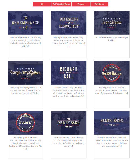
Oh, and in case you haven’t heard…2024 is Tallahassee’s Bicentennial! So, the city/county GIS crew has put together a Bicentennial Gallery to highlight some of Tallahassee’s historic sites, moments, and early neighborhoods from 1824 to 2024. You’ll find that under the Galleries tab on the history site. That is the site that Curtis Marcus is showing me in the video.
BONUS VIDEO | Tallahassee is the home for Florida’s Prime Meridian
(Posted March 5, 2025)
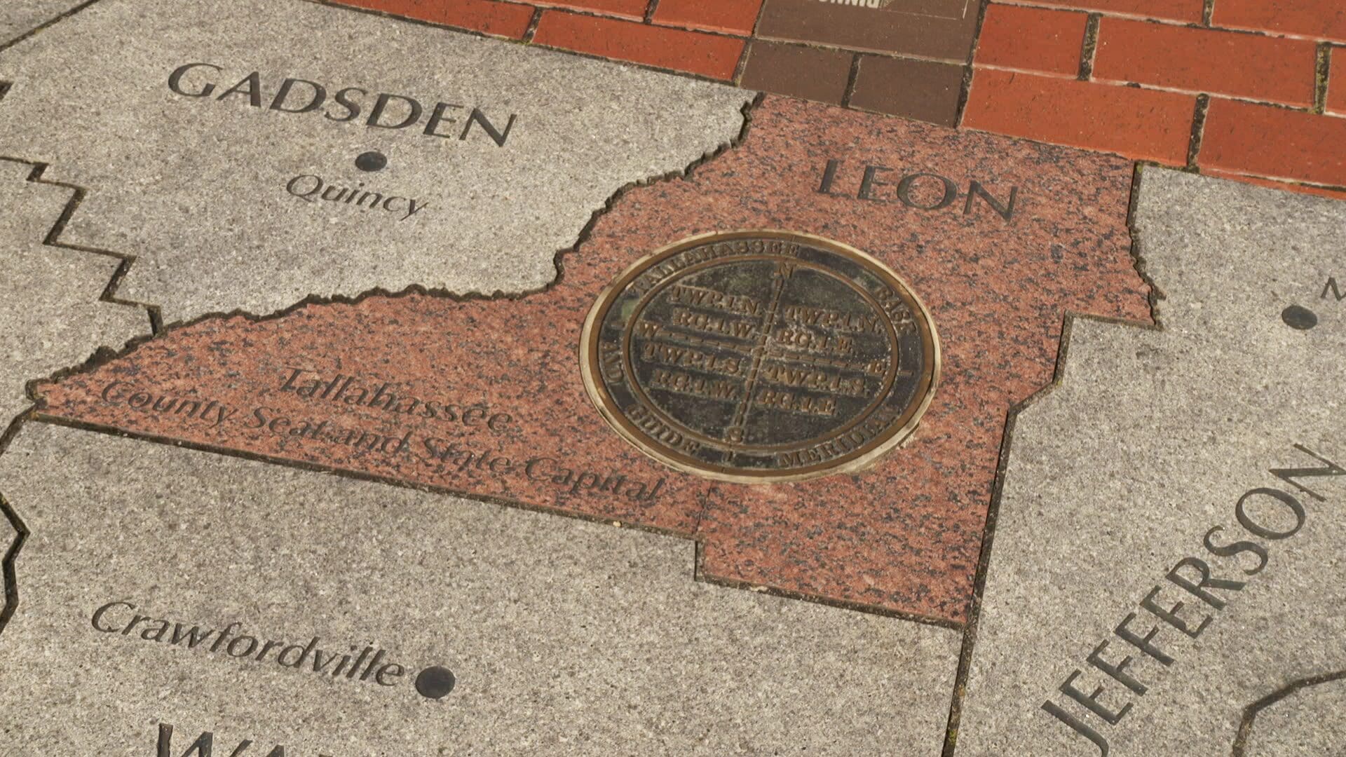
You might have seen it in the heart of Cascades Park: a metal marker in the shape of a compass that sits in a large stone map of Florida. It might seem like a pretty decoration, but in reality, its the single point in Florida where the property lines of the entire state begins. Check out this video to learn more about the purpose and basic history behind the meridian marker in Cascades Park and how it is part of the Public Land Survey System.

")
